Welcome to guides4gamers.com

All Photograph Locations in Mafia: The Old Country

This collection includes every marker from the Photographs category of points of interest in Mafia: The Old Country, all placed on interactive maps created specifically for the game.

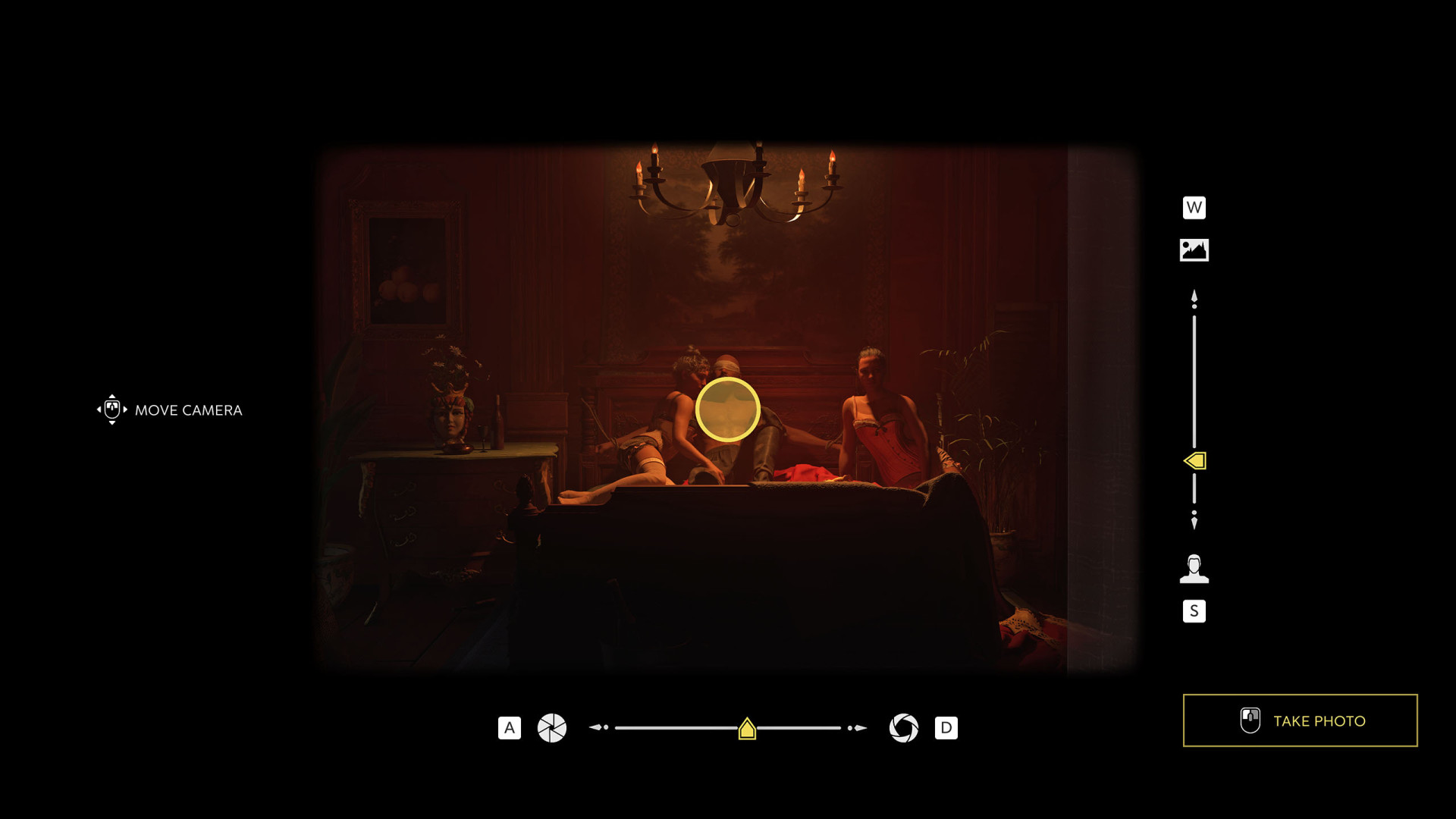
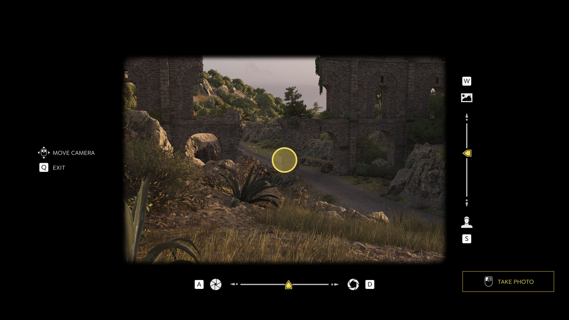
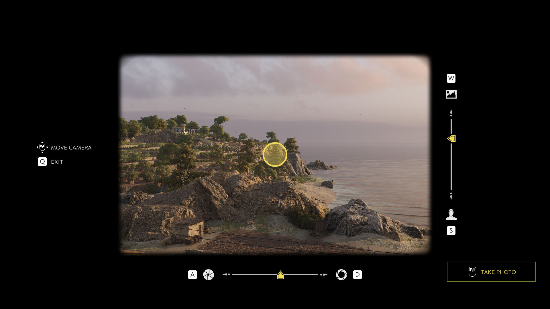
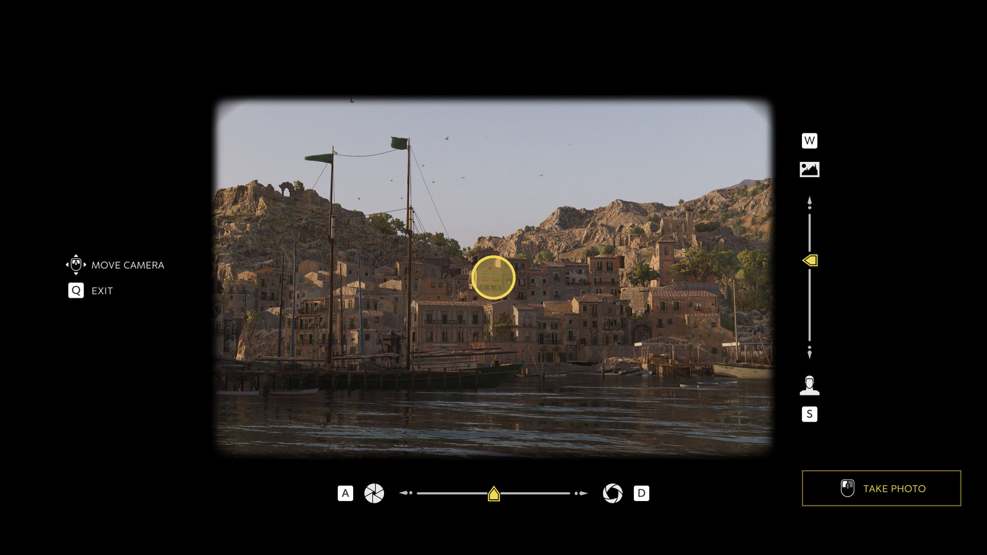
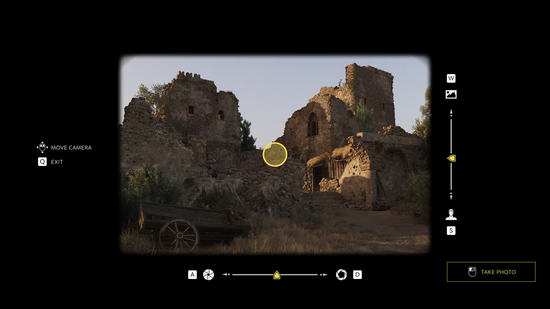
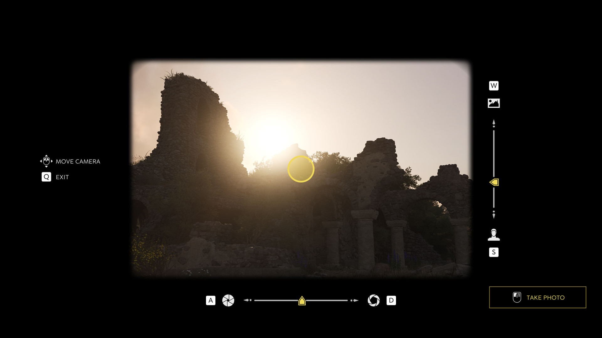
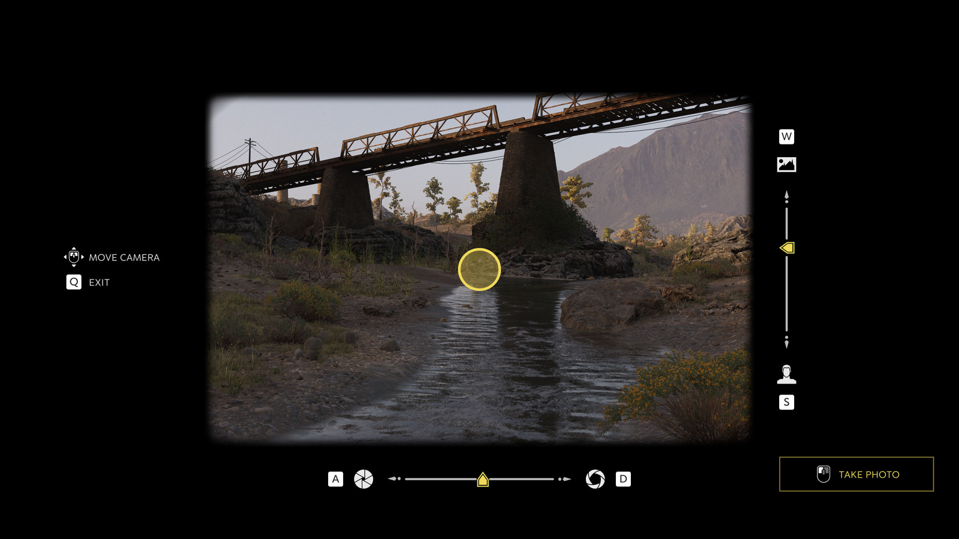
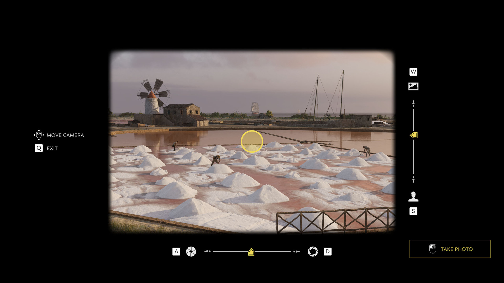
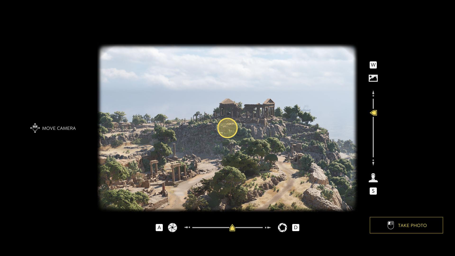
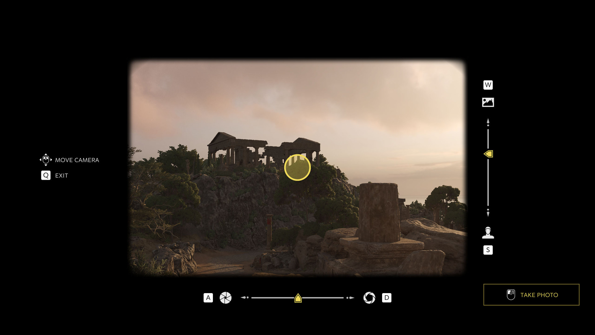
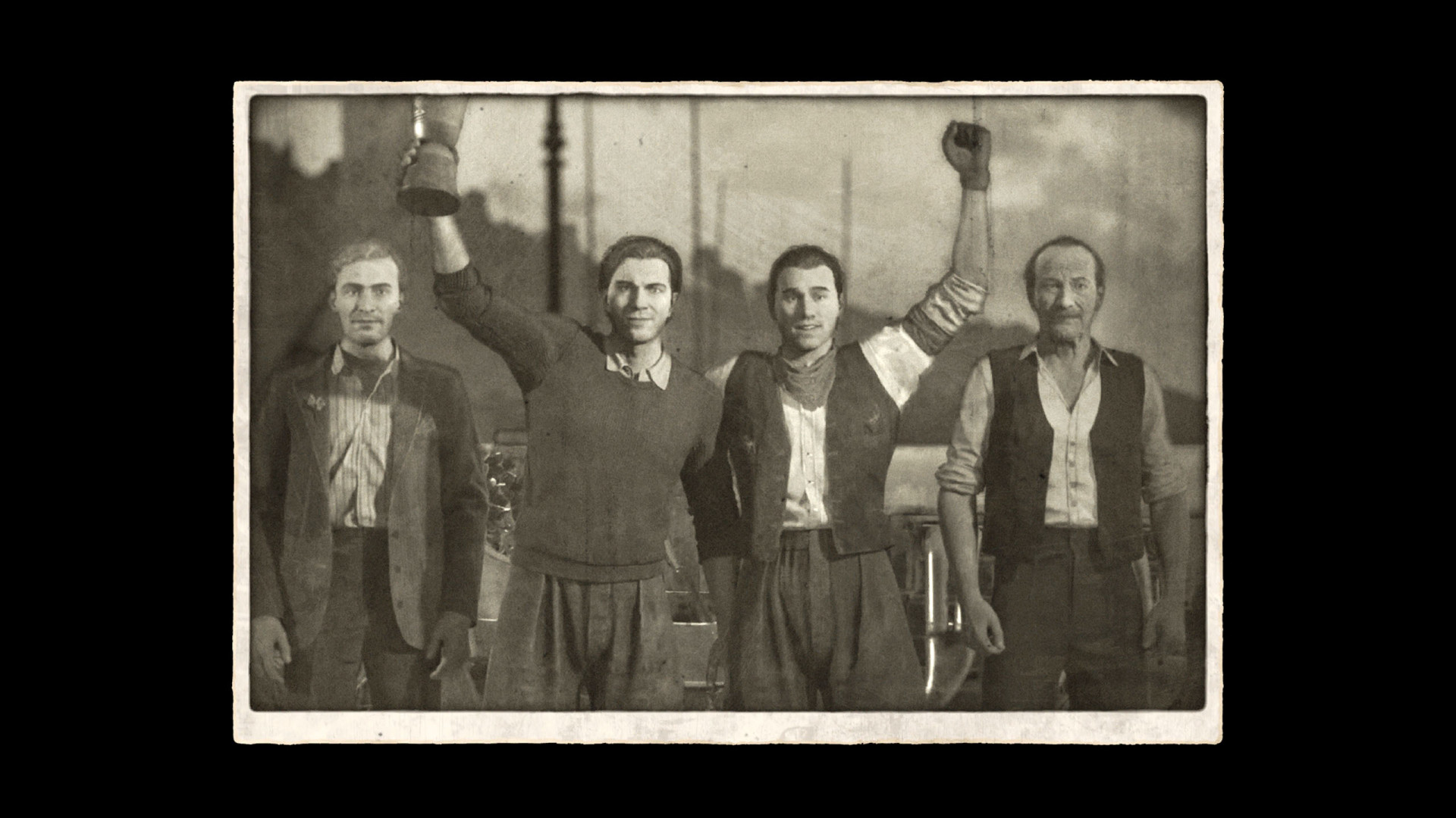
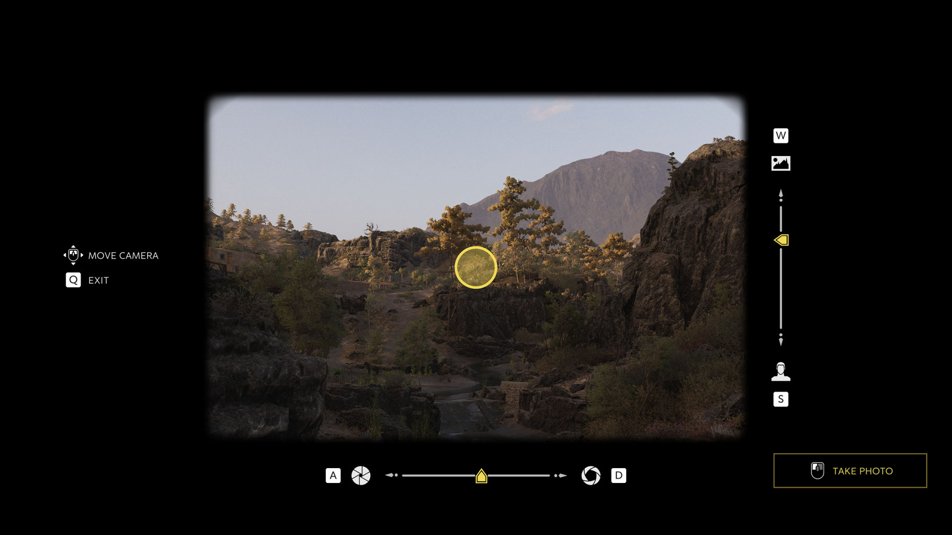
In Mafia: The Old Country, Photographs can be captured using an antique camera, which you unlock in Chapter 4 when Isabella hands it to Enzo. There are a total of 23 photographs to be collected - three are acquired automatically as part of the main story, while the remaining twenty can be found throughout the world in Free Roam mode.

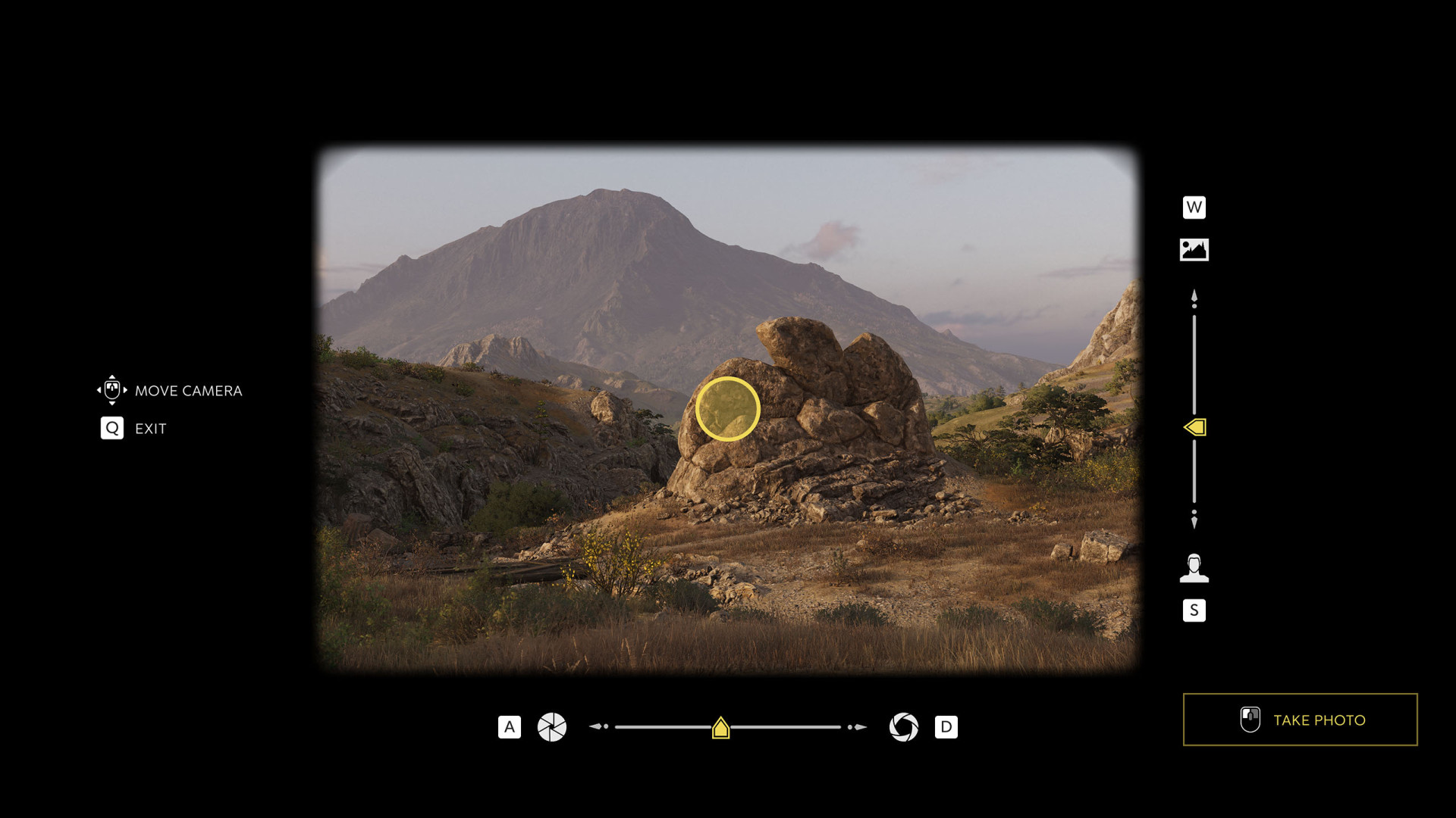
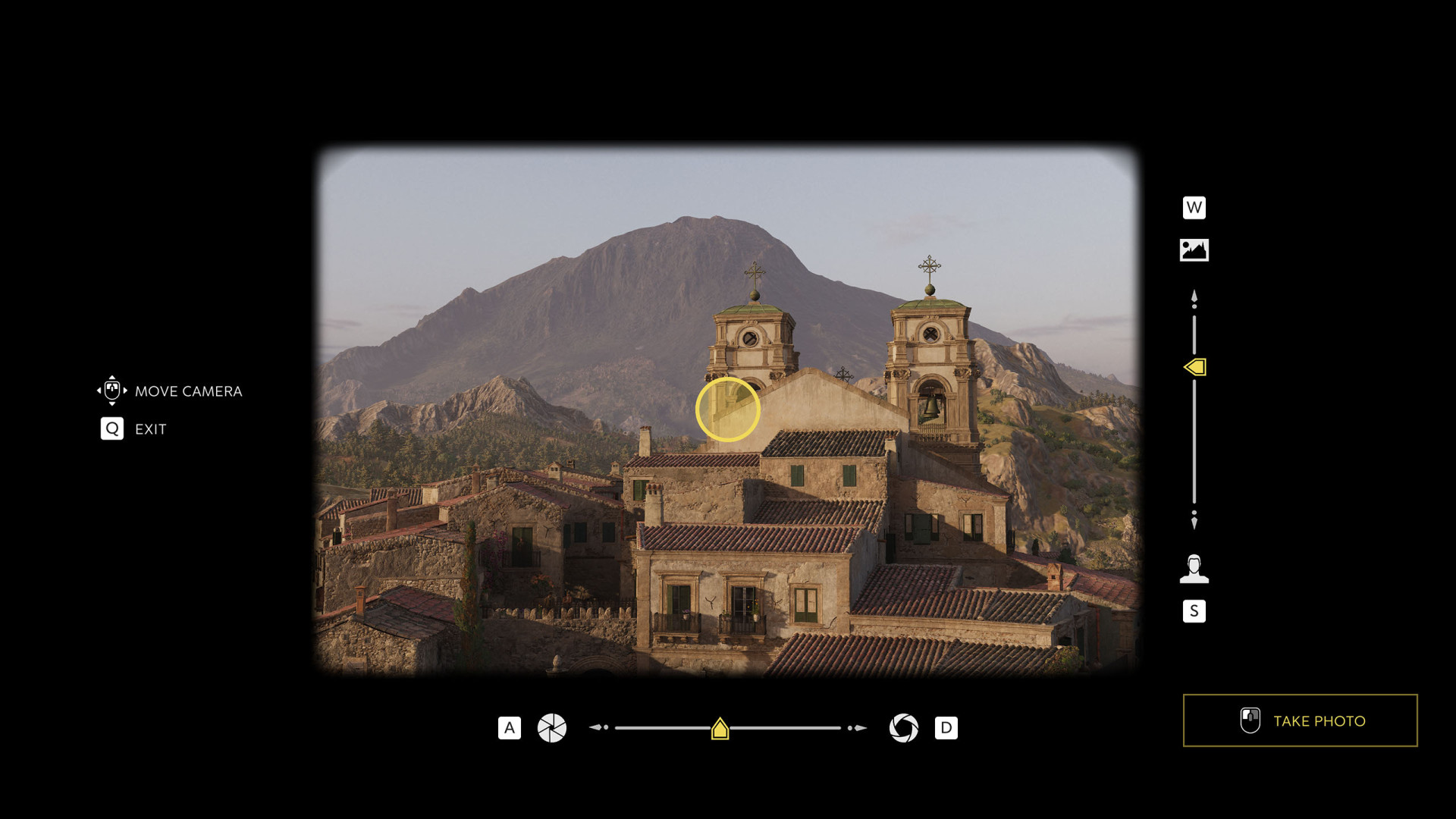
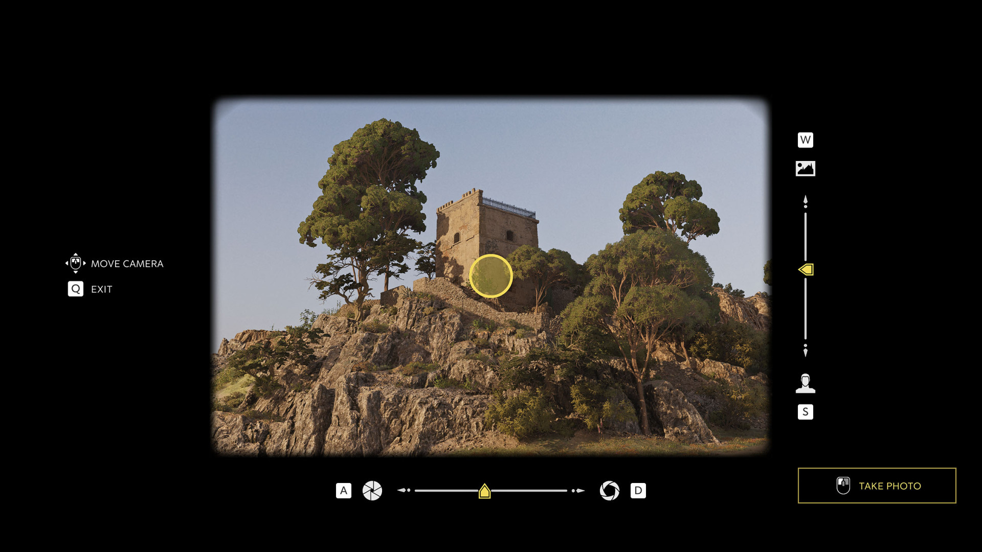
To capture them, you must stand in specific locations and align the camera until all indicators go yellow, signaling that you've framed the scene correctly.

Photographs

Index

The index below enables quick navigation to the desired marker / point of interest.

All known locations on the map - Sicily

Photograph"Il Uccello Rapace" Rock Formation

"Il Uccello Rapace" Rock Formation

The valley where the "bird of prey" formation sits is also home to prehistoric megaliths.

Some scholars speculate these stones may have been used by ancient peoples for ritual or astronomical purposes, possibly tracking the passage of the stars and the turning of the seasons.

Show the map

Photograph"The Mountain"

"The Mountain"

Looming in the distance over San Celeste is a powerful volcano known to locals simply as "the mountain". Its last major eruption came in 1814 following a devastating earthquake that caused widespread destruction across the Valle Dorata.

Only time will tell how long this sleeping giant remains at rest.

Show the map

PhotographA Last Stand in the Norman Ruins

A Last Stand in the Norman Ruins

Following the unification of Italy in 1861, banditry in Sicily was met with fierce crackdowns leading to raids and mass arrests.

In one incident, the famed Mansueto Baglioni and his men held out within these crumbling fortifications for six days before surrendering. Baglioni was swiftly tried and executed a day later.

Show the map

PhotographA Narrow-Gauge Link to Palermo

A Narrow-Gauge Link to Palermo

Railway expansion across Sicily, such as this narrow-gauge line that runs through the Valle Dorata, has allowed for greater movement of industrial and agricultural goods.

It has also significantly improved passenger travel, connecting rural communities to larger urban centers and making regional transit more accessible.

Show the map

PhotographA View of San Celeste

A View of San Celeste

San Celeste’s name originates with Saint Celeste, a Norman-era monk who lived in solitude and was venerated for his piety and healing works.

Legend attests that he was martyred defending his monastery from raiders. Despite centuries of earthquakes, the town takes immense pride in its resilience, having always rebuilt and persevered.

Show the map

PhotographByzantine Ruins House Superstitions

Byzantine Ruins House Superstitions

This Byzantine ruin, the Chapel of Saint Agatha, still captivates local villagers, with tales of strange sounds echoing through its ancient walls at night.

Some claim it is haunted, while others suspect the eerie noises merely come from the wind or mischievous children playing tricks on their more superstitious elders.

Show the map

PhotographCapo Francesco da Paola Lighthouse

Capo Francesco da Paola Lighthouse

Capo Francesco da Paola Lighthouse was erected in 1862 during the unification of Italy to guide ships around the shallow waters and reefs around Porto Almaro.

During later revolts, Bourbon legitimists darkened its light to disrupt Italian naval movements. Today, the lighthouse remains operational, helping trade ships navigate to the port.

Show the map

PhotographChanging Industries of Sicily

Changing Industries of Sicily

Industrialization has reshaped the region, but long-standing deforestation has left little forest for lumber exports.

As is often the case in Sicily, those who benefit most from its industries reside in Palermo or on mainland Italy, using a local workforce to fill their coffers, while Sicilians see little of the wealth their land produces.

Show the map

PhotographChapel of the Madonna la Gentile

Chapel of the Madonna la Gentile

Said to house a toe of Saint Vitus, gifted during Norman rule, pilgrims flock to visit this chapel.

In 1856, Vatican officials requested for the toe to be returned to Rome, but after an outcry from locals and even a cardinal originally from the area, the request was dismissed.

Show the map

PhotographChiesa di Maria

Chiesa di Maria

As Garibaldi’s forces swept across Sicily, it was in this church that Bourbon loyalists hatched a secret plan.

However, the meeting was discovered with violence breaking out within the church itself. It is said that the blood of this conflict still stains the stone walls.

Show the map

PhotographCollezolfo

Collezolfo

The town of Collezolfo was developed in the mid-to-late 19th century to house the influx of miners drawn by the region’s sulfur industry.

Many of these men arrived alone, leading to a steep rise in gambling, prostitution, and crime which became rampant as the settlement grew.

Show the map

PhotographMarquis Siragusa

This photograph is acquired automatically during Chapter 7 - Spirito Sportivo, as part of the main story.

Marquis Siragusa

Despite owning vast swathes of the countryside, the wealthy elite of Sicily rarely leave the townhouses of Palermo and Catania to visit their more rural and lawless estates.

Small towns such as San Celeste, however, offer a degree of anonymity for when these prominent figures want to indulge in more private vices.

Show the map

PhotographNorman Arched Walls in the Sicilian countryside

Norman Arched Walls in the Sicilian countryside

The remains of this Roman aqueduct’s crumbling magnificence stand in quiet decay.

Built to channel freshwater from inland springs to nearby settlements, the aqueduct represents the ambitious engineering projects that were indicative of the Romans.

Show the map

PhotographPirates in Sicily

Pirates in Sicily

From the 16th to the early 19th century, Barbary pirates frequently raided Sicilian shores, sacking villages, and enslaving locals.

In 1785, a pirate ship ran aground during a violent storm. Enraged by years of raids, the townspeople rushed to the wreckage, enacting a swift revenge on the surviving pirates.

Show the map

PhotographPorto Almaro

Porto Almaro

This area has been settled since the neolithic period due to the abundance of fertile land and the sea’s rich bounty.

Since the Phoenicians arrived in the eighth century B.C., a port of some kind has been ever-present. For centuries, Porto Almaro has been key to trade around Sicily and beyond.

Show the map

PhotographRuins of the Castle of Umfredo Anquetil

Ruins of the Castle of Umfredo Anquetil

Ruined castles, like this one once built by the Norman lord Umfredo Anquetil, offer bandits an ideal hideout.

Show the map

PhotographRuins of the Temple of Neptune by Lago Efesto

Ruins of the Temple of Neptune by Lago Efesto

Situated on the shoreline of Lago Efesto, the ruins of this Norman stronghold date back to the early 12th century, during the reign of Roger II of Sicily.

Originally built to assert Norman dominance over the Valle Dorata, the castle once housed a garrison of knights and served as a local seat of feudal authority.

Show the map

PhotographSicilian Railways

Sicilian Railways

Railway expansion across Sicily has introduced new transport links, facilitating the movement of industrial and agricultural goods to major cities and ports.

From the Valle Dorata’s main station, located in Porto Almaro, trains depart regularly for Palermo and Catania. Their routes meander through the sunlit countryside, pausing at smaller towns along the way.

Show the map

PhotographThe Salt Industry

The Salt Industry

The land floods with saltwater, guided into shallow pools to evaporate under the sun. As water disappears, pure white salt crystals form.

Workers carefully rake and collect them by hand. Renowned for its purity, this salt is sold internationally and considered among the finest available anywhere in the world.

Show the map

PhotographThe Temple Complex

This photograph is acquired automatically during Chapter 4 - Il Barone, as part of the main story.

The Temple Complex

In the classical era, the Valle Dorata sat at a crossroads where ancient civilizations met—a place shaped by the clash of cultures and beliefs.

Marks have been left here by the Carthaginians, the Greeks, the Romans, the Moors and many beyond.

Show the map

PhotographThe Temple of Aphrodite Epistrophia on La Riva Antica

The Temple of Aphrodite Epistrophia on La Riva Antica

Built in the fourth century B.C., this temple is remarkably well-preserved although time has worn its once vibrantly painted floors and columns.

The surrounding complex has long been used by as a meeting place by local youths for recreation, romance, and racing.

Show the map

PhotographThe Winning Team

This photograph is acquired automatically during Chapter 7 - Spirito Sportivo, as part of the main story.

The Winning Team

TARGA SIRAGUSA '06

Show the map

PhotographWest Valle Dorata

West Valle Dorata

The western region of the Valle Dorata prospered with the expansion of the railway in the late 19th century. This allowed sulfur mines to export their material more efficiently.

The town of Collezolfo grew rapidly as a result, developing to accommodate the increasing workforce required for mining operations.

Show the map